
Lay of the land

Our "Land Surveying" service offers comprehensive expertise in accurately measuring, mapping, and analysing land and its features. We utilise advanced surveying equipment and techniques to provide precise data that is essential for various purposes, including land development, infrastructure projects, property boundary determination, and legal documentation.
Our team of experienced land surveyors combines technical knowledge with a meticulous approach to deliver reliable and accurate surveying services.

Topographic Survey
We conduct detailed surveys to map the natural and man-made features of a piece of land, including contours, elevations, vegetation, water bodies, and existing structures. This information is crucial for land development, site planning, and infrastructure design.
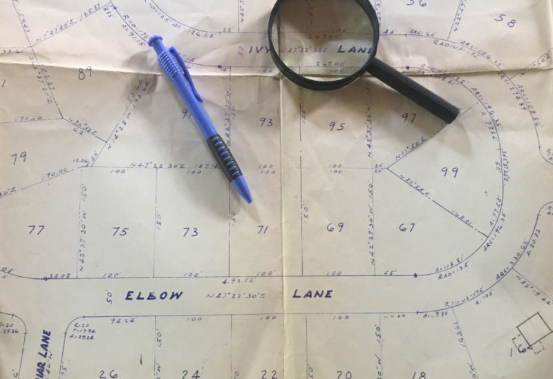
Cadastral Survey
We determine and demarcate property boundaries, creating cadastral maps that define land ownership and assist in property transactions, land registration, and resolving boundary disputes.

Aerial Survey
We utilise aerial photography and remote sensing technologies to capture high-resolution images and data of large land areas. This method is efficient for large-scale mapping, environmental monitoring, and infrastructure planning.
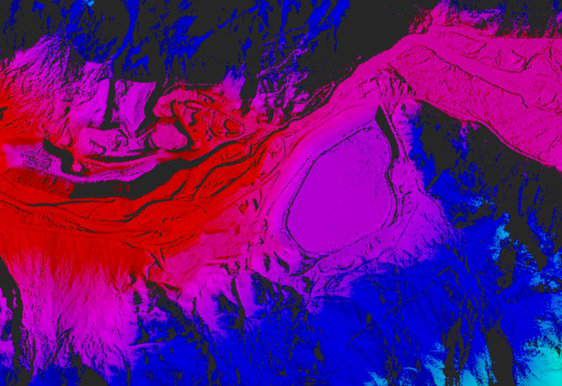
Lidar Survey
We employ Lidar (Light Detection and Ranging) technology to capture precise three-dimensional data of land surfaces. Lidar surveys are useful for terrain modeling, flood risk assessment, and infrastructure design.
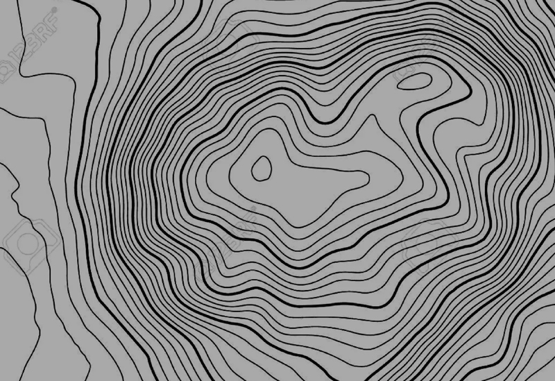
Contour Planning
We generate accurate contour maps that represent the elevation levels of a land area. These contour plans are essential for engineering design, land development, and floodplain mapping.
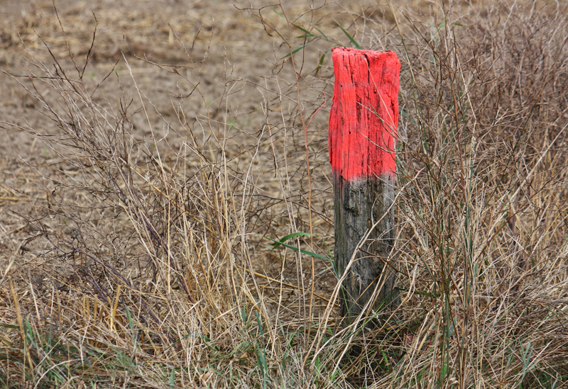
Mast Pegging
We mark and set out reference points on the ground to guide construction activities and ensure that structures are positioned correctly according to the design plans.